
 EN
EN
 ar
ar bg
bg hr
hr cs
cs da
da nl
nl fi
fi fr
fr de
de el
el hi
hi it
it ko
ko no
no pl
pl pt
pt ro
ro ru
ru es
es sv
sv tl
tl iw
iw id
id lv
lv lt
lt sr
sr sk
sk sl
sl uk
uk vi
vi et
et hu
hu th
th tr
tr fa
fa ms
ms hy
hy ka
ka ur
ur bn
bn mn
mn ta
ta kk
kk uz
uz ku
ku
Integrated Inclinometer
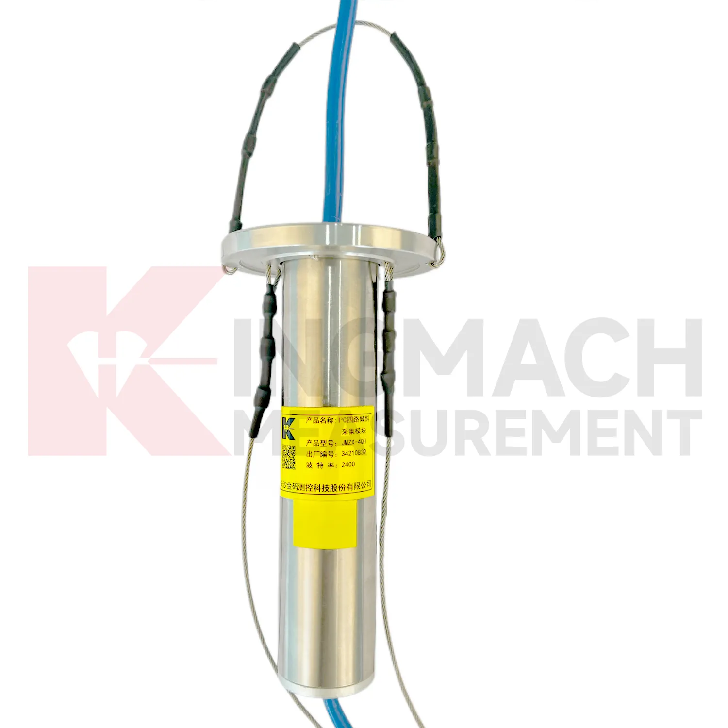
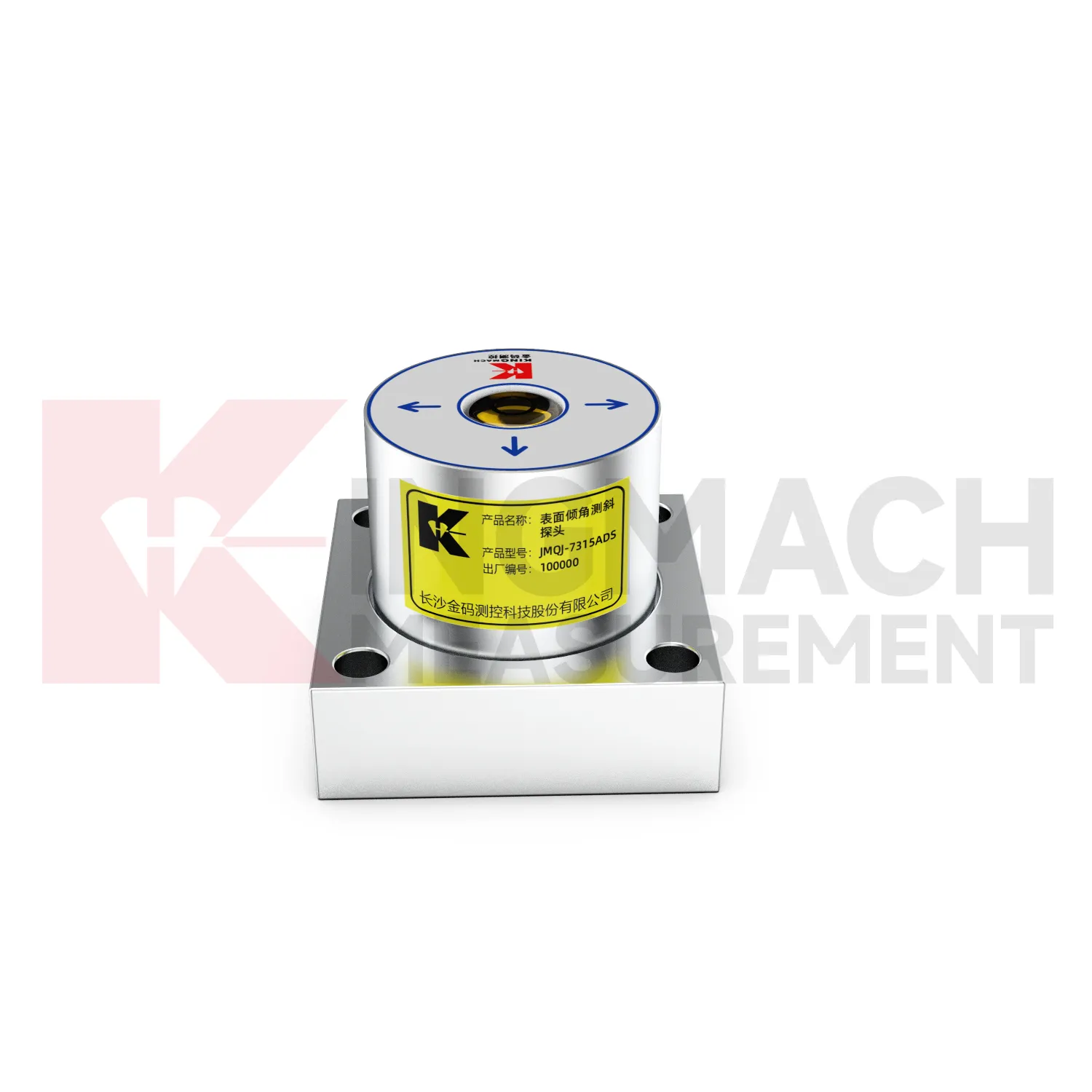
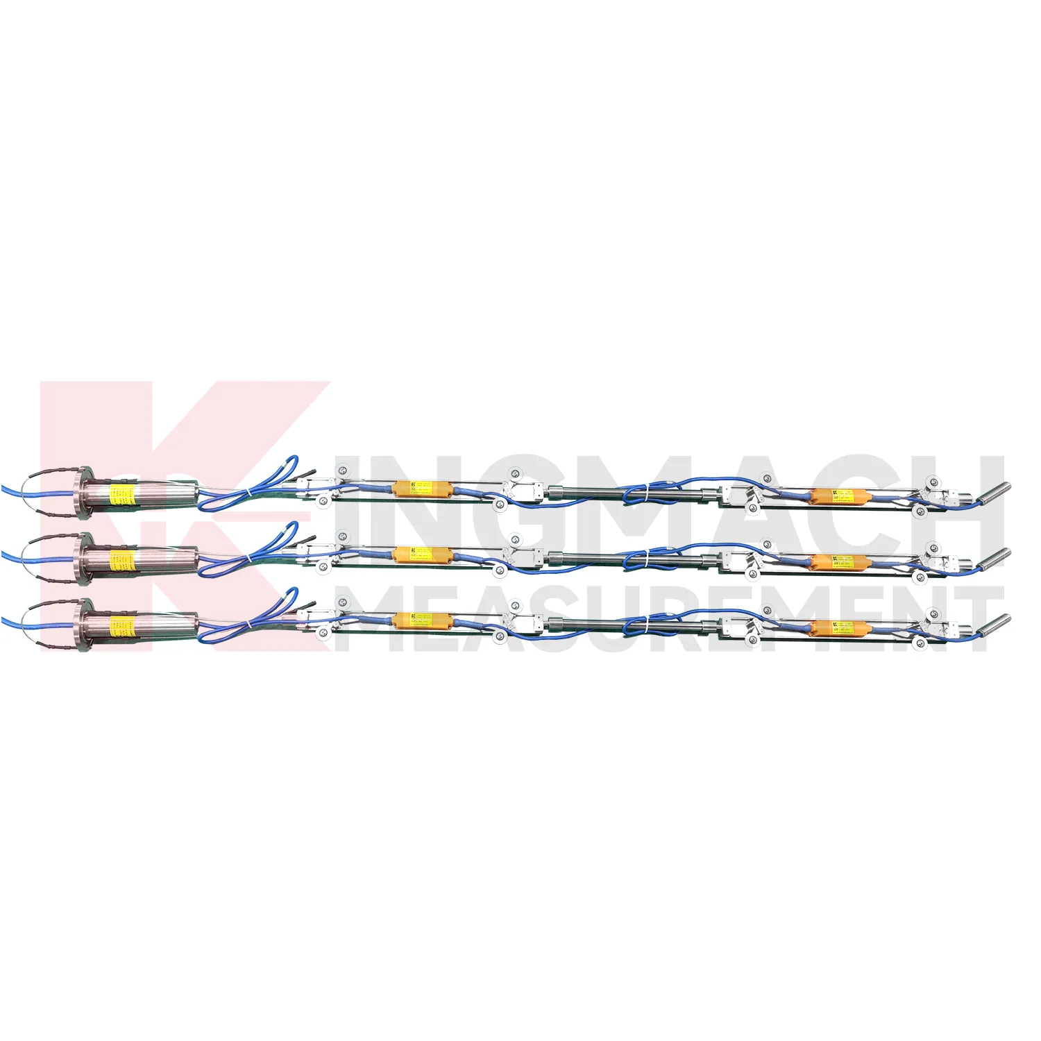
The delivery and installation form of Kingmach Integrated Inclinometer depends heavily on the product type. JMQJ-7315ADS and JMQJ-7315RTU are fixed sensors mounted to a structural surface or instrument base. JMQJ-7915ATS can be pre-assembled at the factory with bodies, cables, universal joints, extension rods, suspension, and acquisition unit according to designed measurement point spacing. JMZX-7100L is a sliding probe system used with inclinometer casing for field readings. JMZX-4QH is placed near the inclinometer tube orifice for protected acquisition. These physical differences affect packaging, installation labor, drawings, acceptance checks, and future maintenance. A clear acceptance file should include model, serial number, point location, borehole depth, axis direction, communication setting, first stable reading, and photographs before the area is closed or returned to service.
Application of Integrated Inclinometer
Building monitoring uses Integrated Inclinometer when column lines, basement walls, adjacent structures, or old buildings near construction activity need tilt records. JMQJ-7315ADS can measure angular change relative to the horizontal plane, and JMQJ-7315RTU can provide wireless reporting for remote or occupied sites. The data should be checked against foundation settlement, crack observations, groundwater changes, nearby excavation, demolition, pile driving, and load changes. Building tilt is often small, so installation quality matters. The mounting surface must be firm, the sensor axis must be recorded, and the baseline should be taken after the sensor has stabilized. For old or damaged buildings, clear point labels and photographs are important because many parties may review the same data during a long project.
The future of Integrated Inclinometer
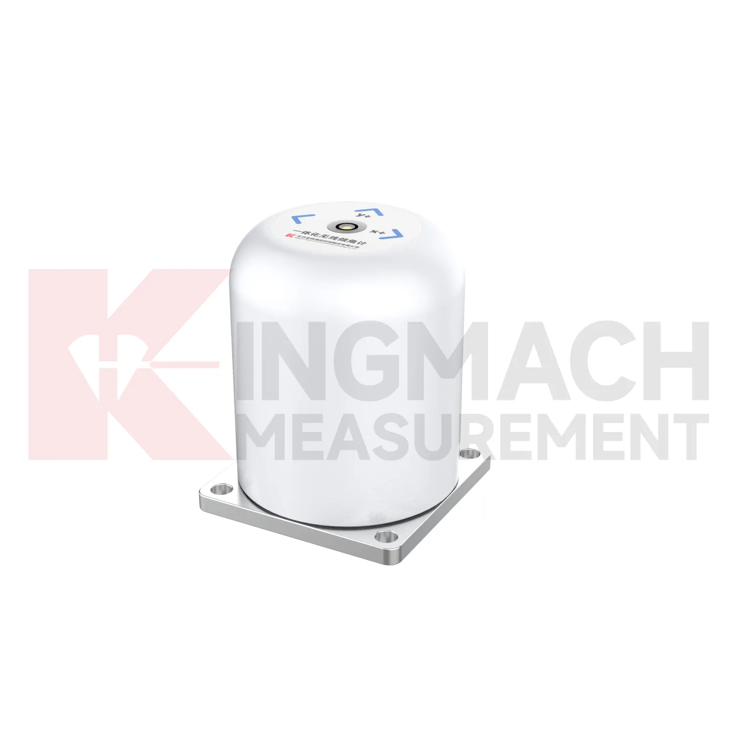
Future Integrated Inclinometer will make field commissioning more traceable. Many tilt problems begin with unclear axis direction, unstable mounting, wrong channel naming, poor cable protection, or missing baseline notes. Products with electronic identifiers and digital communication can reduce some of these errors, but field records still matter. Future commissioning tools may guide technicians through axis confirmation, zero reading, communication check, temperature note, photograph capture, and platform channel verification. JMQJ-7315ADS, JMQJ-7315RTU, JMQJ-7915ATS, JMZX-7100L, and JMZX-4QH each need different acceptance steps. A guided process can make the first reading more trustworthy and reduce later debate about whether a curve changed because of the site or the setup.
Care & Maintenance of Integrated Inclinometer
Data review is part of maintaining Integrated Inclinometer. A curve should be checked for rate, direction, sudden jumps, missing values, repeated flatlines, and disagreement with nearby instruments. Compare tilt with settlement, displacement, strain, load, pore pressure, rainfall, vibration, and water level when available. For automated systems, verify channel names, units, time stamps, and alarm thresholds after platform changes. For manual readings, keep raw field notes and processed graphs together. If an alarm appears, inspect the mounting point, communication path, recent site work, and related instrument behavior. A good maintenance process treats data quality and field condition as one record, not two separate tasks.
Kingmach Integrated Inclinometer
Kingmach Integrated Inclinometer support both surface structural tilt monitoring and deep internal deformation monitoring. Surface tilt instruments measure the angular change of buildings, bridges, railways, towers, walls, and equipment bases relative to the horizontal plane. Deep inclinometer systems, by contrast, follow angle changes inside soil or structural bodies through a borehole. The JMQJ-7915ATS vertical in-place inclinometer system uses a multi-array MEMS design, universal joints, connecting rods, and an orifice acquisition module to collect multi-point readings. This gives engineers a depth profile rather than one surface reading. That distinction is important in slopes, dams, embankments, foundation pits, and underground works. A surface point may remain calm while a deeper layer starts moving. Using the right tilt method makes the deformation pattern easier to locate.
FAQ
Q: How often should Integrated Inclinometer be inspected?
A: Inspection frequency depends on risk, access, construction stage, and deformation speed; active excavation or storm periods often need closer review.Q: What maintenance is needed for wireless tilt units?
A: Check battery status, antenna condition, upload timing, enclosure seals, point label, and platform channel naming.Q: What causes false tilt changes?
A: Loose mounting, disturbed cables, water entry, temperature effects, power faults, channel mistakes, or inconsistent manual reading can affect the record.Q: How should replacement be handled?
A: Record old and new model, serial number, range, baseline, reason, date, axis direction, channel name, and first stable value after replacement.Q: What makes tilt data useful over many years?
A: Consistent point naming, stable baselines, clear installation photos, protected hardware, visible maintenance records, and comparison with related site data.
Reviews
James Thompson
The tiltmeters and accelerometers are very sensitive and provide precise data. Perfect for our structural health monitoring system.
Ryan Lewis
Fast delivery and excellent product quality. The accelerometers and tiltmeters are highly reliable. Strongly recommend this company.
Latest Inquiries
To protect the privacy of our buyers, only public service email domains like Gmail, Yahoo, and MSN will be displayed. Additionally, only a limited portion of the inquiry content will be shown.
Ava***@gmail.comAustralia
Hi, I am looking for reliable tiltmeters and accelerometers for structural health monitoring. Please...
Charlotte***@gmail.comUnited Arab Emirates
Hi, we require instrumentation cables suitable for harsh environments. Could you advise on specifica...