
 EN
EN
 ar
ar bg
bg hr
hr cs
cs da
da nl
nl fi
fi fr
fr de
de el
el hi
hi it
it ko
ko no
no pl
pl pt
pt ro
ro ru
ru es
es sv
sv tl
tl iw
iw id
id lv
lv lt
lt sr
sr sk
sk sl
sl uk
uk vi
vi et
et hu
hu th
th tr
tr fa
fa ms
ms hy
hy ka
ka ur
ur bn
bn mn
mn ta
ta kk
kk uz
uz ku
ku
tiltmeter use
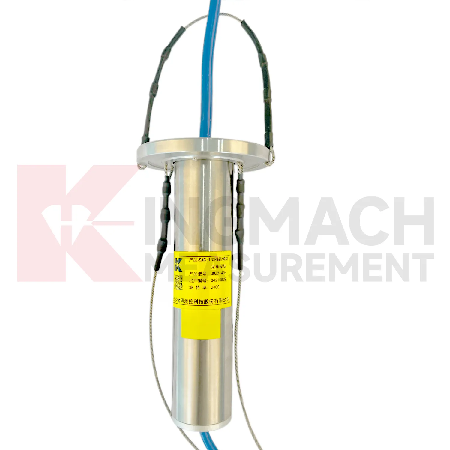
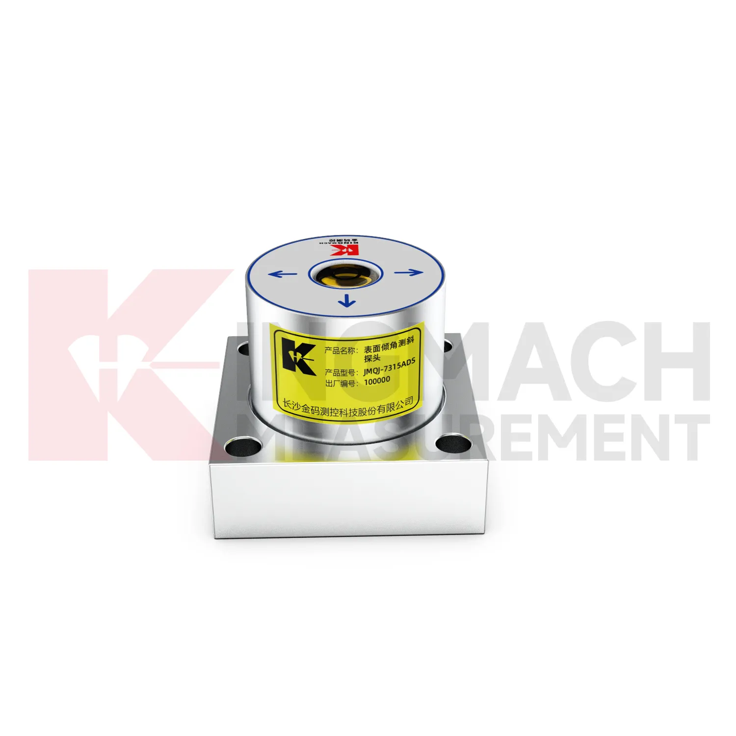
The delivery and installation form of Kingmach tiltmeter use depends heavily on the product type. JMQJ-7315ADS and JMQJ-7315RTU are fixed sensors mounted to a structural surface or instrument base. JMQJ-7915ATS can be pre-assembled at the factory with bodies, cables, universal joints, extension rods, suspension, and acquisition unit according to designed measurement point spacing. JMZX-7100L is a sliding probe system used with inclinometer casing for field readings. JMZX-4QH is placed near the inclinometer tube orifice for protected acquisition. These physical differences affect packaging, installation labor, drawings, acceptance checks, and future maintenance. A clear acceptance file should include model, serial number, point location, borehole depth, axis direction, communication setting, first stable reading, and photographs before the area is closed or returned to service.
Application of tiltmeter use
Integrated monitoring platforms use tiltmeter use as the angular deformation layer in a broader site record. A project may combine fixed tilt sensors, in-place inclinometer strings, displacement meters, settlement gauges, load cells, strain gauges, environmental sensors, data loggers, cables, and visualization software. Kingmach offers both tilt instruments and related acquisition products, so the monitoring plan can connect measuring points to platform channels from the beginning. The main task is to define which tilt point answers which site risk: wall rotation, pier movement, deep slope deformation, building lean, or tunnel lining response. Alarm levels should be based on that risk and reviewed with nearby instruments. When the platform displays tilt beside related data, engineers can judge linked behavior more quickly.
The future of tiltmeter use
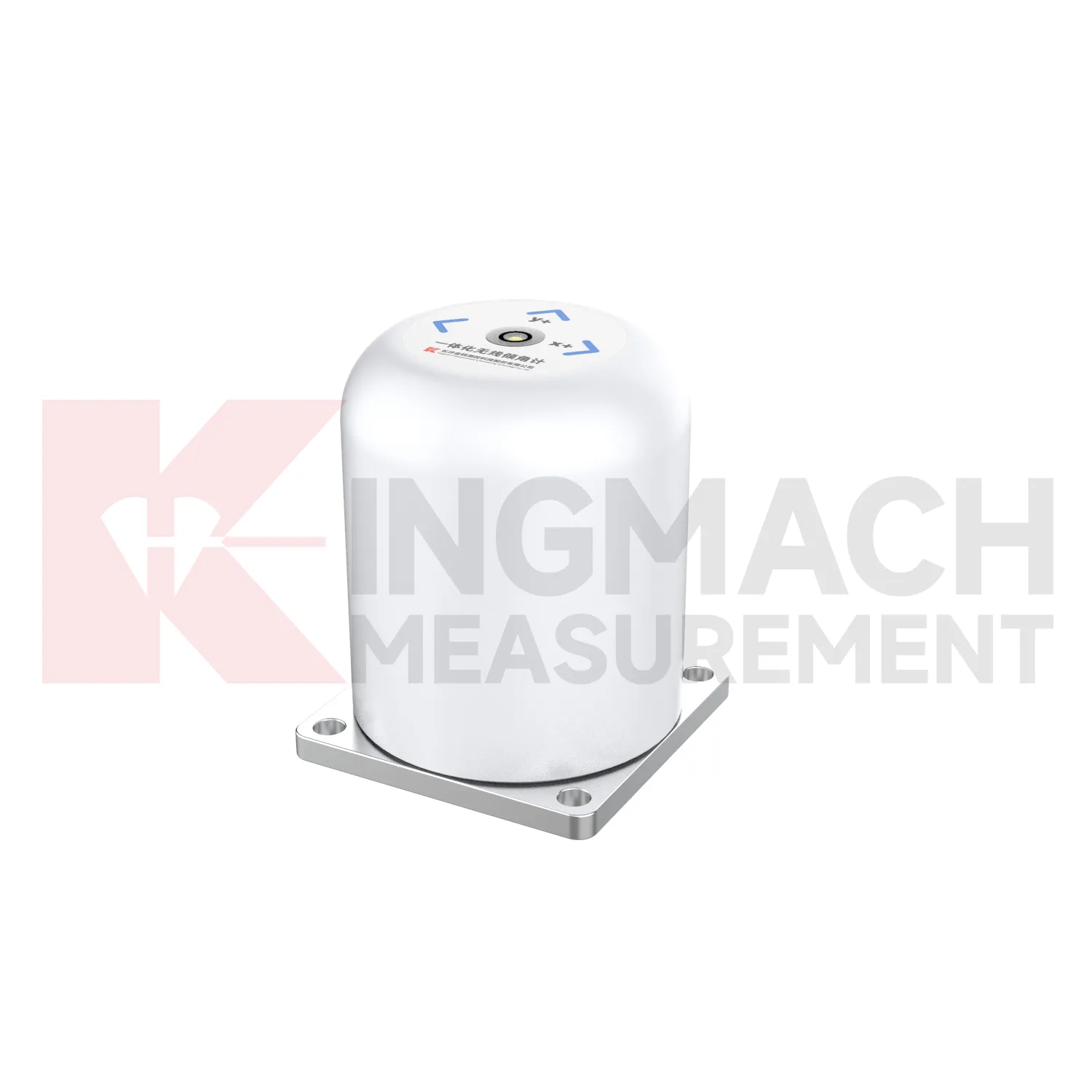
Data interpretation will become a stronger part of future tiltmeter use use. Angle values are precise, but the engineering meaning depends on direction, rate, location, structure type, and nearby events. A building column tilt record, a slope borehole profile, and a bridge pier rotation curve should not be judged the same way. Future platforms can help by grouping points by structure, showing rate of change, linking photos and inspection notes, and comparing tilt with settlement, displacement, strain, load, and water level. Kingmach tilt products provide the sensing layer; the next practical gain comes from making review workflows clearer. Better interpretation reduces both missed warnings and unnecessary field alarms.
Care & Maintenance of tiltmeter use
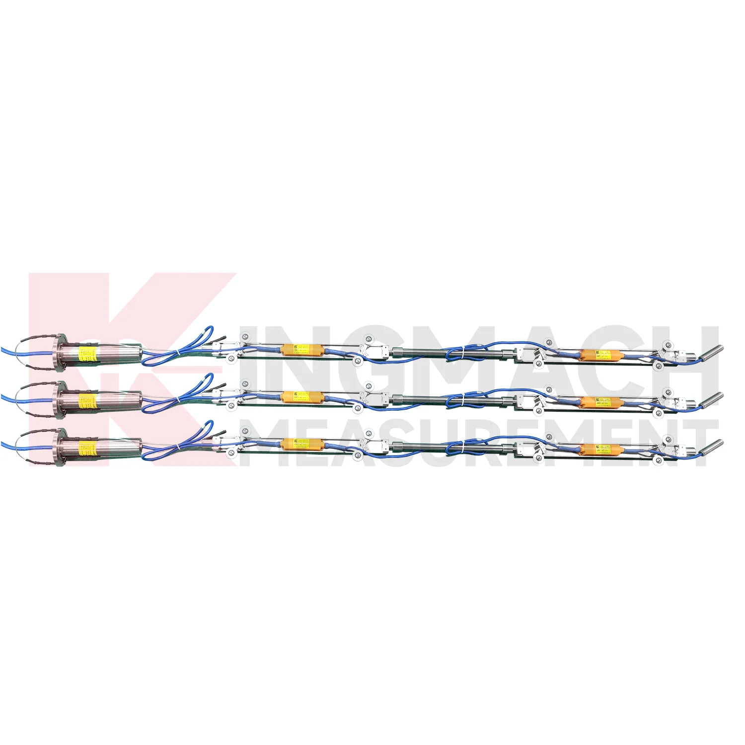
Borehole systems for tiltmeter use need careful mechanical and data maintenance. JMQJ-7915ATS uses a multi-point tandem inclinometer string with universal joints, connecting rods, suspension, cables, and an orifice acquisition module. During installation, record measurement spacing, borehole ID, casing condition, orientation, group assignment, and factory configuration. During inspection, protect the orifice, check cable strain, review module status, and compare depth points for abnormal jumps. If one depth changes sharply while neighboring depths remain steady, inspect both the ground condition and the instrument chain. Borehole data is most useful when every depth point remains tied to a clear physical position and a stable orientation reference.
Kingmach tiltmeter use
Kingmach tiltmeter use are useful when an engineering team needs tilt data that can be compared with displacement, settlement, strain, water level, or load readings. Tilt rarely stands alone. A retaining wall may rotate while a nearby displacement meter shows horizontal movement. A bridge bearing area may tilt as temperature and traffic change. A slope borehole may show deep lateral deformation before the ground surface opens. Kingmach JMQJ-7315ADS provides RS485 digital output for fixed tilt monitoring, and JMQJ-7315RTU provides 4G digital transmission for remote unattended work. These communication paths help put tilt data into a monitoring platform where engineers can compare time stamps and site events. The stronger the data chain, the easier it is to decide whether an angle change is structural behavior, installation disturbance, or a temporary environmental response.
FAQ
Q: How should tiltmeter use be installed?
A: The mounting surface or borehole position should be stable, the axis direction must be recorded, and the baseline should be saved after the instrument settles.Q: Why is axis direction important?
A: Tilt values only have engineering meaning when the positive and negative directions are tied to the structure, slope, tunnel, or borehole drawing.Q: Can these instruments work in wet sites?
A: Several Kingmach models list IP65, IP67, or IP68 protection, but glands, connectors, cabinets, and cable entries still need field inspection.Q: What should be checked during commissioning?
A: Check model, range, serial number, communication, power, baseline, point name, mounting photo, channel address, and related site condition.Q: Can a tiltmeter be reset after installation?
A: It can be re-baselined when necessary, but the old value, new value, reason, date, and technician should remain visible in the record.
Reviews
Ryan Lewis
Fast delivery and excellent product quality. The accelerometers and tiltmeters are highly reliable. Strongly recommend this company.
Joshua Clark
We ordered a full monitoring solution including sensors and data loggers. Everything works seamlessly together. Great supplier!
Latest Inquiries
To protect the privacy of our buyers, only public service email domains like Gmail, Yahoo, and MSN will be displayed. Additionally, only a limited portion of the inquiry content will be shown.
Sophia***@gmail.comUnited Kingdom
Good day, we need environmental monitoring sensors including temperature, humidity, and wind sensors...
Harper***@gmail.comIndia
Dear Sir, we are planning to procure a complete monitoring system including strain gauges, tiltmeter...